


Millions of people in Midwest cities like Chicago and Milwaukee are at risk of seeing poweful storms packing large hail, damaging wind gusts and possible tornadoes. FOX Weather Meteorologist Britta Merwin breaks down the forecast on May 15.
CHICAGO – A weeklong severe weather threat continues on Thursday as millions of people in major Midwest cities like Chicago and Milwaukee brace for powerful storms that could pack very large hail, hurricane-force wind gusts and strong tornadoes.
This renewed threat comes after an eerie lull in extreme weather during a month that is usually packed with reports of strong to severe thunderstorms and tornadoes.
HOW TO WATCH FOX WEATHER

(FOX Weather)
Forecasters have been tracking the possibility of a multiday severe weather event since the weekend, and storm chances in cities from the Plains through the Midwest and into the Ohio Valley have been growing ever since.
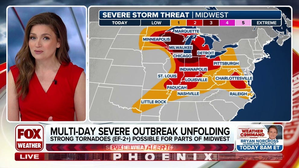
More than 87 million people from the Upper Midwest to the mid-Atlantic will be at risk of severe weather on Thursday. However, chances are higher across portions of Minnesota, Wisconsin, Illinois, Indiana, Michigan and Ohio.
NOAA’s Storm Prediction Center (SPC) has placed more than 20 million people in that region under a Level 3 risk on its 5-point severe thunderstorm risk scale.
This includes cities such as Chicago, Madison and Milwaukee in Wisconsin, St. Paul in Minnesota and Fort Wayne in Indiana.
Elsewhere, nearly 33 million people in cities like Minneapolis, Detroit and Indianapolis have been placed in a Level 2 out of 5 threat.
DOWNLOAD THE FREE FOX WEATHER APP

(FOX Weather)
The FOX Forecast Center said that ahead of a cold front, deep moisture from the Gulf and moderate instability in the atmosphere will give way to severe thunderstorms developing during the afternoon hours.
Some of those thunderstorms will likely be supercells, and eventually, a broken line of storms will develop by mid-afternoon and move northeastward through the Chicago and Milwaukee metro areas.
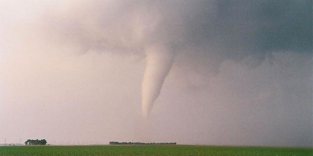
The more intense storms will have hail larger than 2 inches, and given the amount of spin in the atmosphere, conditions will be favorable to support tornadoes, some of which could be strong (EF-2 or higher).
Severe weather is then expected to sweep into Michigan, and storms will be capable of producing wind gusts higher than 75 mph, along with very large hail.
Elsewhere in the Ohio Valley, severe thunderstorms will be much more scattered in nature.